
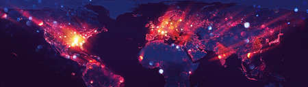
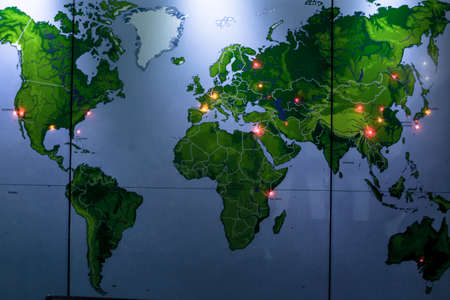
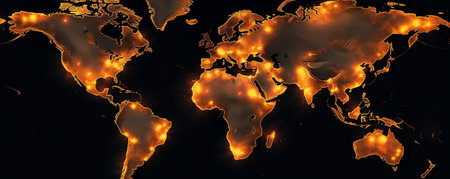
World map with light spots. Vector illustration. Eps 10 file.
Коллекция по умолчанию
Коллекция по умолчанию
Создать новую

United States, East Coast Washington. Coronavirus COVID-19 global cases Map. Red Dot showing the number of infected. Johns Hopkins University map on monitor display.
Коллекция по умолчанию
Коллекция по умолчанию
Создать новую
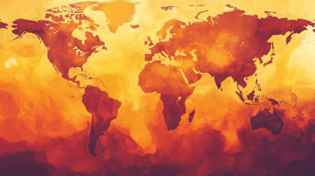
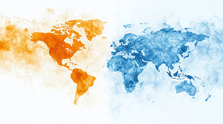
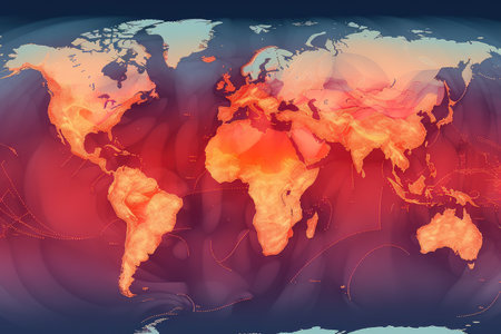
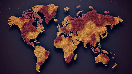
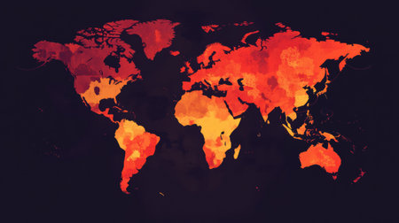
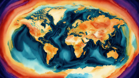
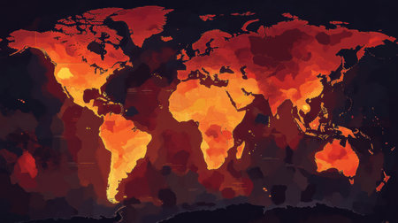
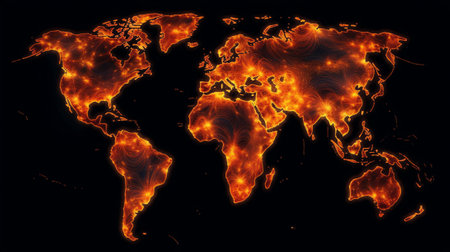
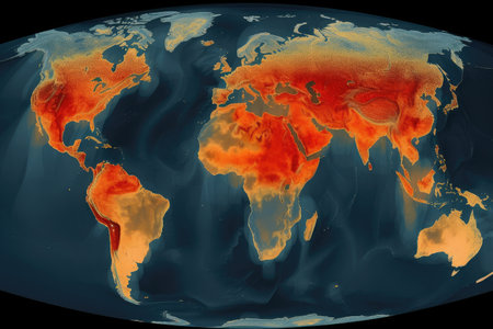
A vibrant world map illustration showcasing colors of red, orange, and yellow for an artistic interpretation of global heat or climate change
Коллекция по умолчанию
Коллекция по умолчанию
Создать новую
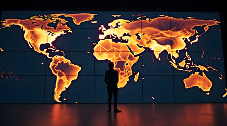
Unlock the secrets of climate change with our state-of-the-art research and data analysis tools. Stay ahead of the curve with Climate Data and Research.
Коллекция по умолчанию
Коллекция по умолчанию
Создать новую
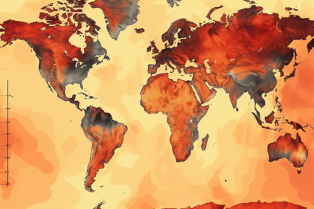
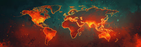
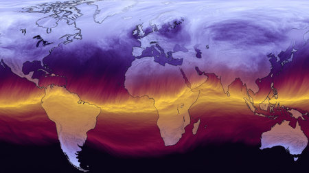
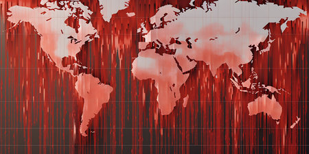
World map in red and orange colors. Climate change: July set to be world's warmest month on record.
Коллекция по умолчанию
Коллекция по умолчанию
Создать новую
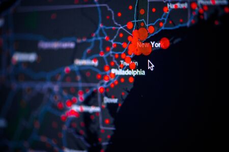
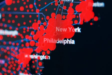
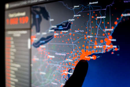
United States, East Coast, New York, . Coronavirus COVID-19 global cases Map. Red Dot showing the number of infected. Johns Hopkins University map on monitor display.
Коллекция по умолчанию
Коллекция по умолчанию
Создать новую
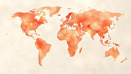
Map of the world on old paper background. Vector Illustration.
Коллекция по умолчанию
Коллекция по умолчанию
Создать новую
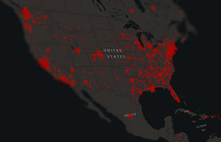
United States map confirmed cases report globally. Virus disease situation update united states. American Maps show where the virus has spread. America virus infection map
Коллекция по умолчанию
Коллекция по умолчанию
Создать новую

United States, USA . Coronavirus COVID-19 global cases Map. Red Dot showing the number of infected. Johns Hopkins University map on monitor display.
Коллекция по умолчанию
Коллекция по умолчанию
Создать новую
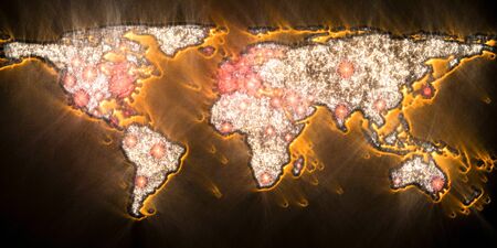
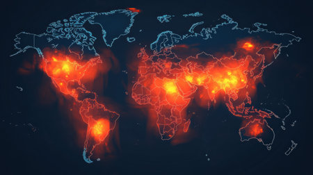
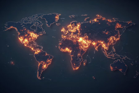
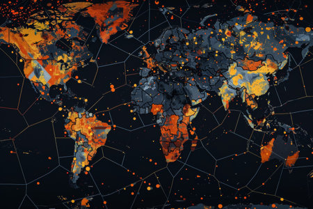
This visual representation showcases areas around the world affected by viral outbreaks and their intensity over time.
Коллекция по умолчанию
Коллекция по умолчанию
Создать новую
Global Stock Market Trends A Minimalist Vector Visualization with Blue and Orange Candlesticks
Коллекция по умолчанию
Коллекция по умолчанию
Создать новую
Logistics map showcasing vibrant routes and pathways in a bustling urban area
Коллекция по умолчанию
Коллекция по умолчанию
Создать новую
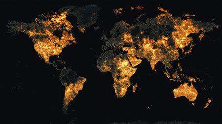
This artistic representation showcases a global map illuminated by city lights against a dark backdrop, symbolizing urban connectivity and modern life.
Коллекция по умолчанию
Коллекция по умолчанию
Создать новую
abstract background.
Коллекция по умолчанию
Коллекция по умолчанию
Создать новую
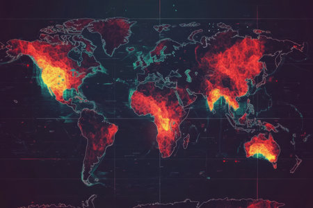
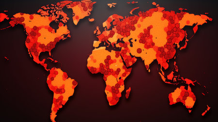
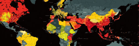
Map illustrates regions affected by epidemics, showing the intensity of outbreaks worldwide through color coding and gradients.
Коллекция по умолчанию
Коллекция по умолчанию
Создать новую
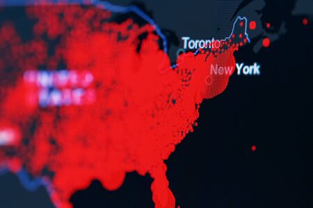
COVID-19 coronavirus pandemic on the US map in close-up with red dots of infection centers. The spread of coronavirus in the United States. Covid-19 infection concept new York.
Коллекция по умолчанию
Коллекция по умолчанию
Создать новую
Generative AI : Map of the spread of monkeypox virus in Europe Smallpox virus abstract model Disease outbreak spread pandemic threat world health organization Elements of this imag
Коллекция по умолчанию
Коллекция по умолчанию
Создать новую
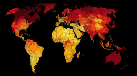
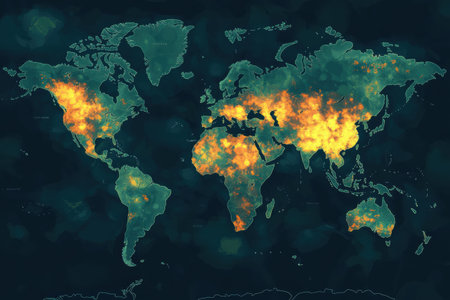
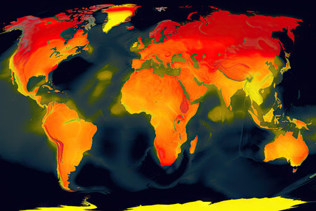
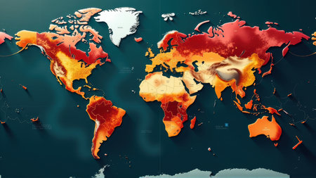
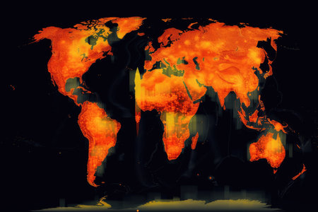
This vibrant heat map displays temperature variation across the globe, illustrating climate change effects in distinct colors. It serves as a visual representation to raise awareness about environmental issues.
Коллекция по умолчанию
Коллекция по умолчанию
Создать новую
wold map made by hard red flame granite stone texture surface background
Коллекция по умолчанию
Коллекция по умолчанию
Создать новую
A Sleek AI Driven Logistics Control Room Monitoring Global Supply Chains on Digital Walls, Photo Illustration Image Picture Photography
Коллекция по умолчанию
Коллекция по умолчанию
Создать новую
world map with sunrise and stars on the map of the world.
Коллекция по умолчанию
Коллекция по умолчанию
Создать новую
carbon dioxide emissions visualized with heat map, showing global distribution, created with generative ai
Коллекция по умолчанию
Коллекция по умолчанию
Создать новую

Outbreaks in in the United States of America, Canada, Mexico with foci with coronavirus infection covid-19 SARS-CoV-2
Коллекция по умолчанию
Коллекция по умолчанию
Создать новую
World Map with Glitter and Glow Effect.
Коллекция по умолчанию
Коллекция по умолчанию
Создать новую
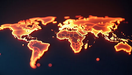
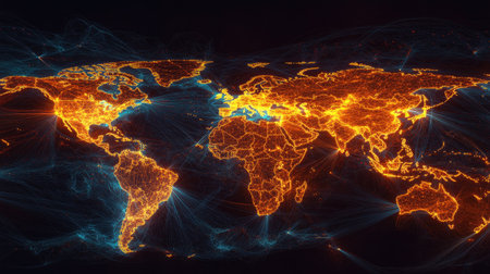
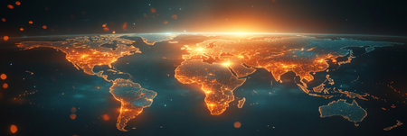
Glowing digital world map with bright orange illuminated continents and detailed borders on a dark background. Futuristic design concept for technology or global themes.
Коллекция по умолчанию
Коллекция по умолчанию
Создать новую
Map illustrating various zones affected by epidemics worldwide, showing areas of high risk and outbreak hotspots during a recent period.
Коллекция по умолчанию
Коллекция по умолчанию
Создать новую
COVID-19 coronavirus pandemic on the US map in close-up with red dots of infection centers. The spread of coronavirus in the United States. Covid-19 infection concept new York.
Коллекция по умолчанию
Коллекция по умолчанию
Создать новую
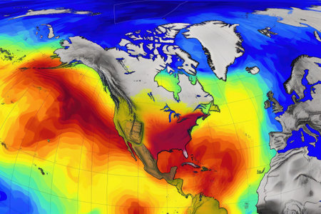
A Dynamic global map showing temperature variations in orange and blue hues
Коллекция по умолчанию
Коллекция по умолчанию
Создать новую
Map displays areas of viral spread worldwide with highlighted zones, indicating regions impacted by recent outbreaks and disease transmission.
Коллекция по умолчанию
Коллекция по умолчанию
Создать новую
Blood world map on infective virus background, World of virus outbreak crisis concept
Коллекция по умолчанию
Коллекция по умолчанию
Создать новую
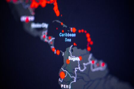
Caribbean Sea and Caribbean Islands . Coronavirus COVID-19 global cases Map. Red Dot showing the number of infected. Johns Hopkins University map on monitor display.
Коллекция по умолчанию
Коллекция по умолчанию
Создать новую
glowing map of world
Коллекция по умолчанию
Коллекция по умолчанию
Создать новую

United States, West Coast. Coronavirus COVID-19 global cases Map. Red Dot showing the number of infected. Johns Hopkins University map on monitor display.
Коллекция по умолчанию
Коллекция по умолчанию
Создать новую
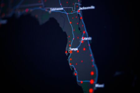
United States, florida, Tampa . Coronavirus COVID-19 global cases Map. Red Dot showing the number of infected. Johns Hopkins University map on monitor display.
Коллекция по умолчанию
Коллекция по умолчанию
Создать новую

Map of Coronavirus (Covid-19), Close-up united states with Covid-19, Covid 19 usa map confirmed cases report worldwide globally
Коллекция по умолчанию
Коллекция по умолчанию
Создать новую
carbon dioxide emissions visualized with heat map, showing highest concentrations and sources, created with generative ai
Коллекция по умолчанию
Коллекция по умолчанию
Создать новую
3D-Illustration of a world map view on corona virus covid-19 outbreak spots
Коллекция по умолчанию
Коллекция по умолчанию
Создать новую
World map virus pandemia background. Generative AI.
Коллекция по умолчанию
Коллекция по умолчанию
Создать новую

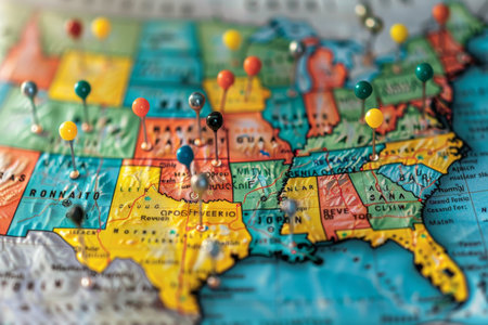
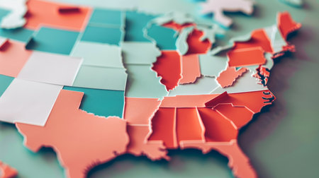
Detailed usa map pinpointing key election areas for analytical thorough review and in depth analysis
Коллекция по умолчанию
Коллекция по умолчанию
Создать новую
Health risk distribution reveals regional vulnerabilities to diseases, highlighting global health disparities.
Коллекция по умолчанию
Коллекция по умолчанию
Создать новую
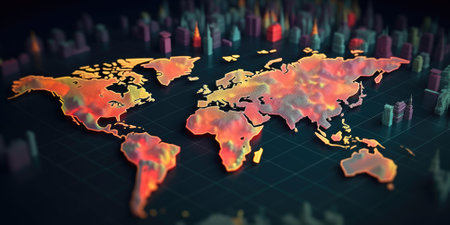
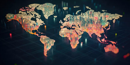
Highly detailed 3D world map with city building representations and dynamic lighting on a dark grid background. Concept for urban planning and global infrastructure. Smart city concept. AIG35.
Коллекция по умолчанию
Коллекция по умолчанию
Создать новую
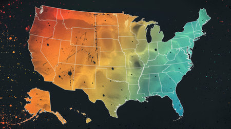
Map of USA in watercolor style. Colorful USA map with states.
Коллекция по умолчанию
Коллекция по умолчанию
Создать новую
Global network map illuminated showing connections and data transfer
Коллекция по умолчанию
Коллекция по умолчанию
Создать новую
This map details global zones experiencing epidemic outbreaks, illustrating affected regions with color coding to represent severity.
Коллекция по умолчанию
Коллекция по умолчанию
Создать новую
World map with weather forecast app. Weather prediction data on monitor screen. Concept of meteorology. Created with Generative AI
Коллекция по умолчанию
Коллекция по умолчанию
Создать новую
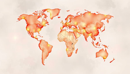
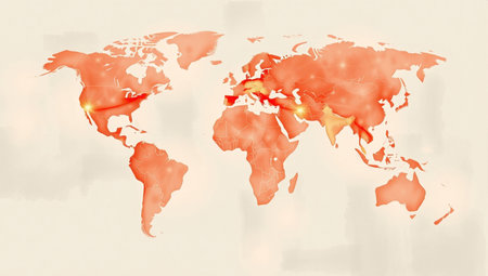
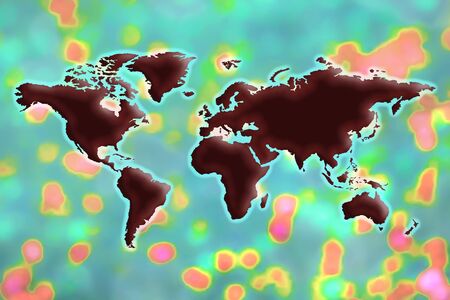
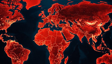
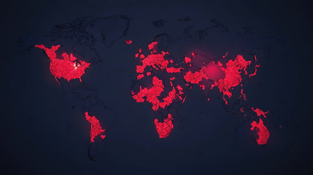
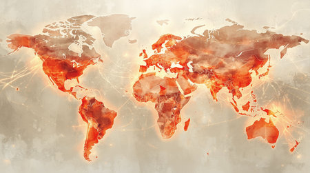
A stylized map is presented on a neutral, light gray background. The continents are a rich red, with subtle variations in brightness suggesting illuminated areas or data points. The borders of the landmasses are not sharply defined but rather blend softly with the background. The overall impression is one of a global overview, possibly representing data distribution, population density, or a widespread phenomenon.
Коллекция по умолчанию
Коллекция по умолчанию
Создать новую
Vibrant Watercolor World Map with Detailed Borders. AI Generated.
Коллекция по умолчанию
Коллекция по умолчанию
Создать новую
Detailed world map illustrating various zones affected by viral spread, highlighting regions with increased transmission rates and impact areas.
Коллекция по умолчанию
Коллекция по умолчанию
Создать новую
World population day, team community city crowd, planet Earth humanity, country support, problem together
Коллекция по умолчанию
Коллекция по умолчанию
Создать новую
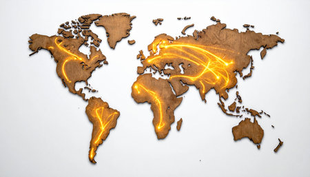
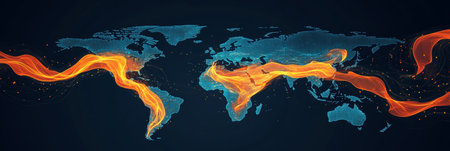
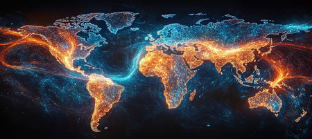
Vibrant streams of light flow across a textured world map, illustrating the dynamic and ceaseless movement of data, trade, and travel.
Коллекция по умолчанию
Коллекция по умолчанию
Создать новую
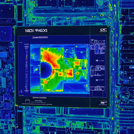
Measurement of temperature differences and heat losses due to poor insulation
Коллекция по умолчанию
Коллекция по умолчанию
Создать новую
Generative AI : Map of the spread of monkeypox virus in Europe Smallpox virus abstract model Disease outbreak spread pandemic threat world health organization Elements of this imag
Коллекция по умолчанию
Коллекция по умолчанию
Создать новую
LE BOURGET, PARIS, FRANCE - OCTOBER 8, 2016 : : Interior of the Museum of comonautic and aviation Le Bourget in Paris. rimary source and elements of this image furnished by NASA
Коллекция по умолчанию
Коллекция по умолчанию
Создать новую
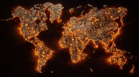
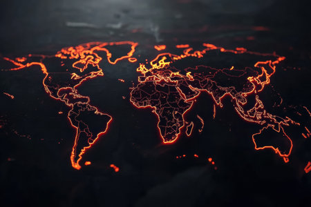
This abstract world map features glowing circuit patterns illuminated against a dark background, symbolizing global technology and connectivity.
Коллекция по умолчанию
Коллекция по умолчанию
Создать новую
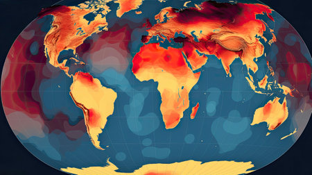
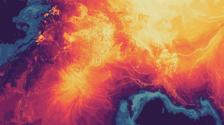
A mesmerizing visualization of Earth's temperature gradients shows the varying heat distribution across continents and oceans, emphasizing climate change and its impact on our planet.
Коллекция по умолчанию
Коллекция по умолчанию
Создать новую
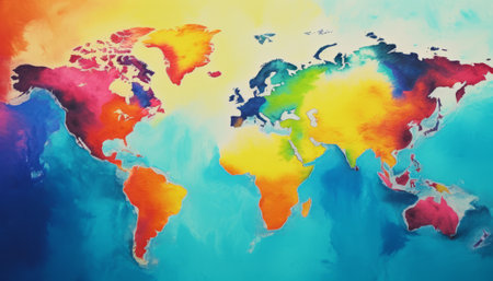
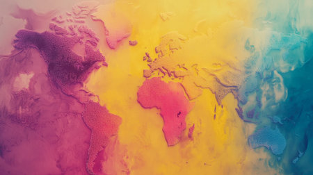
Colorful world map background. Multicolored watercolor painting.
Коллекция по умолчанию
Коллекция по умолчанию
Создать новую
Abstract Orange And Blue World Map, Global Network And Data Exchange Connections With Glowing Lines.
Коллекция по умолчанию
Коллекция по умолчанию
Создать новую

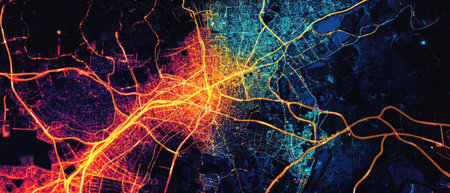
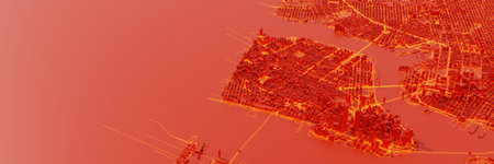
U.S. Data Map Network Activity Visualized Across the United States
Коллекция по умолчанию
Коллекция по умолчанию
Создать новую
Highly detailed 3D world map with city building representations and dynamic lighting on a dark grid background. Concept for urban planning and global infrastructure. Smart city concept. AIG35.
Коллекция по умолчанию
Коллекция по умолчанию
Создать новую

representation of world trade war initiated by United States of America import tariffs on steel and aluminium, with American map background
Коллекция по умолчанию
Коллекция по умолчанию
Создать новую
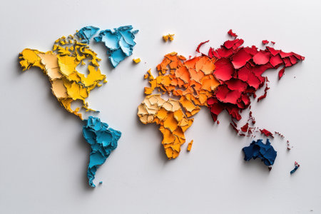
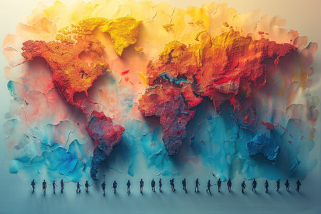
A creative representation of the world map formed from textured cut paper, highlighting continents in bright colors against a plain white backdrop, inviting exploration and imagination.
Коллекция по умолчанию
Коллекция по умолчанию
Создать новую
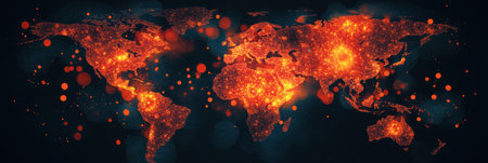
A striking visual representation of the Earth, viewed from space, with continents prominently highlighted in a fiery red glow. The deep blue of the oceans provides a stark contrast to the illuminated landmasses. The map clearly the outlines of continents and countries, suggesting a global scale for the phenomenon depicted. This could represent the spread of a disease, the flow of information, or a surge in activity across the planet. The intensity of the red suggests a significant and...
Коллекция по умолчанию
Коллекция по умолчанию
Создать новую
Map of the world with a red cable on a dark background.
Коллекция по умолчанию
Коллекция по умолчанию
Создать новую
A 3D visualization of an economy map where regions glow under pressure showing reduced value zones in vivid red hovering over a desolate urban sprawl below
Коллекция по умолчанию
Коллекция по умолчанию
Создать новую
Techno mega city; urban and futuristic technology concepts, original 3d rendering
Коллекция по умолчанию
Коллекция по умолчанию
Создать новую
An artistic representation of a colorful world map featuring vibrant colors and textures. This abstract design is perfect for travel themes and creative projects.
Коллекция по умолчанию
Коллекция по умолчанию
Создать новую
World Map with Heatmap Overlay - Global Temperature Visualization, generative Ai
Коллекция по умолчанию
Коллекция по умолчанию
Создать новую
Map displays regions impacted by epidemic outbreaks, illustrating global health risks and areas requiring attention for disease control.
Коллекция по умолчанию
Коллекция по умолчанию
Создать новую
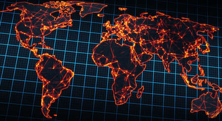
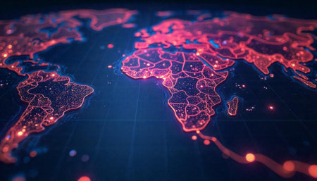
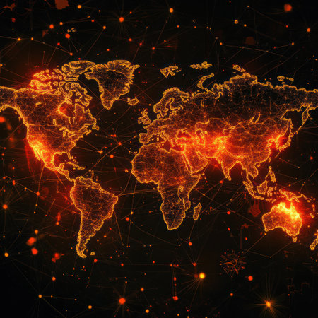
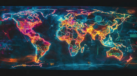
A stunning representation of a world map glowing with vibrant lights, showcasing intricate networks and connections across continents, emphasizing global interconnectivity.
Коллекция по умолчанию
Коллекция по умолчанию
Создать новую
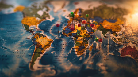
High-quality photo of a map with colorful pins marking must-visit destinations and route planning
Коллекция по умолчанию
Коллекция по умолчанию
Создать новую

Closeup International time zone on white paper map.
Коллекция по умолчанию
Коллекция по умолчанию
Создать новую
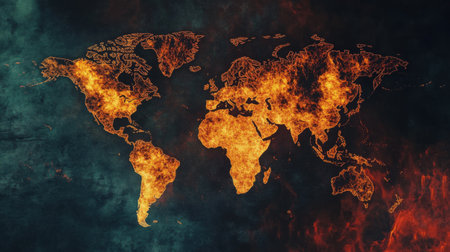
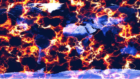
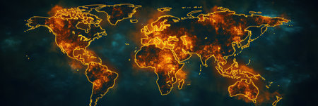
A world map with fire burning on it. The fire is so intense that it is almost as if it is engulfing the entire world. Concept of destruction and chaos, as well as the power of nature
Коллекция по умолчанию
Коллекция по умолчанию
Создать новую

Grunge world map background
Коллекция по умолчанию
Коллекция по умолчанию
Создать новую
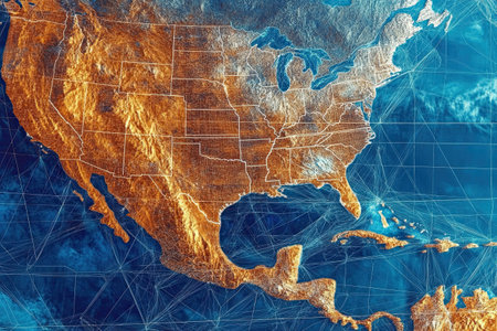
A vibrant portrayal of the United States and Mexico from space, illuminated with neon lights, reflects urban cultural influences.
Коллекция по умолчанию
Коллекция по умолчанию
Создать новую
Planet Earth Illuminated At Night With City Lights, Modern Global Communication, Global Network
Коллекция по умолчанию
Коллекция по умолчанию
Создать новую
Map of the world on a red background. 3d illustration.
Коллекция по умолчанию
Коллекция по умолчанию
Создать новую
carbon dioxide emissions visualization, with overlay of heatmap to show human population, created with generative ai
Коллекция по умолчанию
Коллекция по умолчанию
Создать новую
Detailed usa map pinpointing key election areas for analytical thorough review and in depth analysis
Коллекция по умолчанию
Коллекция по умолчанию
Создать новую
Highlighted zones on a world map illustrate areas affected by epidemic outbreaks, revealing severity and global distribution of diseases.
Коллекция по умолчанию
Коллекция по умолчанию
Создать новую
Global map displays zones of epidemic outbreaks using bright colors to highlight regions experiencing health crises and infection rates
Коллекция по умолчанию
Коллекция по умолчанию
Создать новую
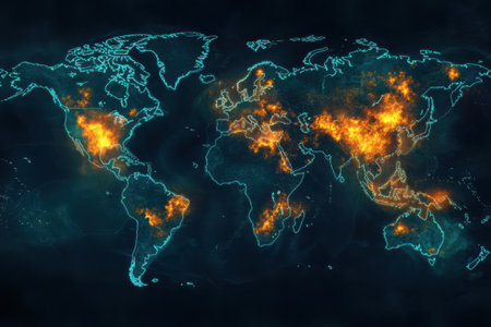
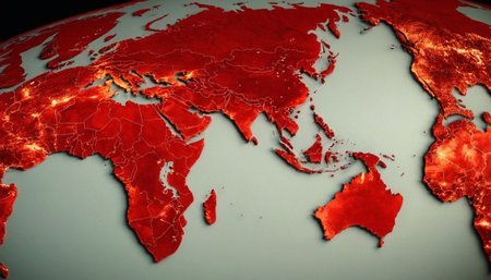
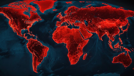
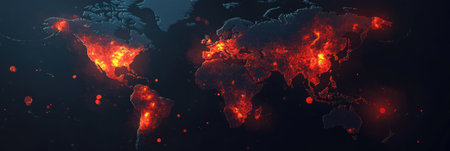
A striking digital visualization of the Earth's continents glowing with an intense red light against a deep black, cosmic-like background. The illumination appears concentrated on landmasses, suggesting a surge of energy, heat, or a widespread crisis. This abstract representation of the planet evokes a sense of urgency and global impact, with the dark void emphasizing the illuminated areas. The is abstract and conceptual, focusing on visual intensity and global scale.
Коллекция по умолчанию
Коллекция по умолчанию
Создать новую
This world map showcases areas affected by various epidemic outbreaks, illustrating zones with varying intensity and risk levels.
Коллекция по умолчанию
Коллекция по умолчанию
Создать новую
Over 1 million. Number of Total Confirmed Cases. Expert point Coronavirus COVID-19 global cases Map Johns Hopkins University map on monitor display.
Коллекция по умолчанию
Коллекция по умолчанию
Создать новую
Map highlights areas affected by epidemic outbreaks worldwide, indicating regions of high health risks and outbreaks across continents.
Коллекция по умолчанию
Коллекция по умолчанию
Создать новую
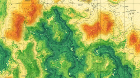
Explore this vibrant topographic map vector showcasing elevation contours and landscape features, ideal for geographic analysis and visual representation.
Коллекция по умолчанию
Коллекция по умолчанию
Создать новую
Highlighted zones on the world map illustrate areas experiencing epidemic outbreaks, revealing crucial health crisis patterns and trends.
Коллекция по умолчанию
Коллекция по умолчанию
Создать новую

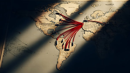
Selective focus of Miniature figurine of lonely young traveler walking on big map with red pin
Коллекция по умолчанию
Коллекция по умолчанию
Создать новую
Generative AI : Fires places Earth map View from outer space Satellite panoramic image Some elements of this image are furnished by NASA
Коллекция по умолчанию
Коллекция по умолчанию
Создать новую

Explore a captivating topographic map spread across a rustic wooden table, complemented by a vintage camera and a steaming cup of coffee, creating an inviting travel scene.
Коллекция по умолчанию
Коллекция по умолчанию
Создать новую
Paper Craft Displaying Minimalist Map of Key Swing States for 2024 Presidential Election, Patriotic Theme
Коллекция по умолчанию
Коллекция по умолчанию
Создать новую
A detailed world map features highlighted areas representing the spread of viruses, showing global infection trends and hotspots.
Коллекция по умолчанию
Коллекция по умолчанию
Создать новую
Generative AI : Fires places Earth map View from outer space Satellite panoramic image Some elements of this image are furnished by NASA
Коллекция по умолчанию
Коллекция по умолчанию
Создать новую
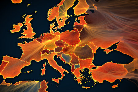
AI risk map of Earth showing blinking red zones of political tension, --chaos 30 --ar 16:9 --v 6.1 Job ID: 8627dfa1-3641-46f4-8b6c-69fe2cb0e701
Коллекция по умолчанию
Коллекция по умолчанию
Создать новую
World map with bright neon outlines of continents and bright data points for major cities
Коллекция по умолчанию
Коллекция по умолчанию
Создать новую

Burning Old Map Close Up Slow Motion
Коллекция по умолчанию
Коллекция по умолчанию
Создать новую
A vibrant visualization of volcanic activity highlighting the Mediterranean region during a summer sunset
Коллекция по умолчанию
Коллекция по умолчанию
Создать новую
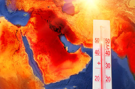
Thermometer with a record high temperature of fifty degrees Celsius, against the backdrop of the Arabian Peninsula, Persian Gulf.
Коллекция по умолчанию
Коллекция по умолчанию
Создать новую
carbon dioxide emissions visualization, with overlay of heatmap to show human population, created with generative ai
Коллекция по умолчанию
Коллекция по умолчанию
Создать новую
Map of the world with fire effect. Elements of this image furnished by NASA
Коллекция по умолчанию
Коллекция по умолчанию
Создать новую
Stylized global map showcasing industrial regions. Artistic 3D rendering. Geographical and industrial concept. Design for educational material, poster.
Коллекция по умолчанию
Коллекция по умолчанию
Создать новую
Legion-Media
Создайте свои проекты на основе качественных стоковых фотографий и видео.


Copyright © Legion-Media.